
Page 7 - BOL Feb 22 Edition
P. 7
A L
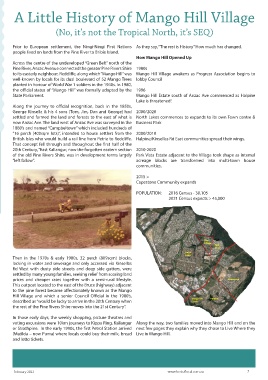
A Little History of Mango Hill Villageittle History of Mango Hill Village
(No, it’s not the Tropical North, it’s SEQ)o, it’s not the Tropical North, it’s SEQ)
(N
Prior to European settlement, the Ningi-Ningi First Nations As they say, “The rest is History” How much has changed.
people lived on lands from the Pine River to Bribie Island.
How Mango Hill Opened Up
Across the centre of the undeveloped “Green Belt” north of the
Pine River, Anzac Avenue connected the greater Pine Rivers Shire 1980s
to its easterly neighbour, Redcliffe, along which “Mango Hill” was Mango Hill Village awakens as Progress Association begins to
well-known by locals for its dual boulevard of 52 Mango Trees lobby Council
planted in honour of World War 1 soldiers in the 1940s. In 1980,
the official status of “Mango Hill” was formally adopted by the 1996
State Parliament. Mango Hill Estate south of Anzac Ave commenced as Halpine
Lake is threatened!
Along the journey to official recognition, back in the 1850s,
George Kinsella & his 4 sons (Tom, Jim, Dan and George) had 2000/2020
settled and farmed the land and forests to the east of what is North Lakes commences to expands to its own Town centre &
now Anzac Ave. The land west of Anzac Ave was surveyed in the Business Park
1880’s and named “Campbeltown” which included hundreds of
“16 perch (400sqm lots)”, intended to house settlers from the 2000/2010
British Isles who would build a rail line from Petrie to Redcliffe. Halpine/Kinsellas Rd East communities spread their wings.
That concept fell through and throughout the first half of the
20th Century, “East Kallangur, now the forgotten eastern section 2010-2020
of the old Pine Rivers Shire, was in development terms largely Park Vista Estate adjacent to the Village took shape as internal
“left fallow”. acreage blocks are transformed into multi-town house
communities.
2015 >
Capestone Community expands
POPULATION: 2016 Census - 30,105
2021 Census expects > 45,000
Then in the 1970s & early 1980s, 32 perch (809sqm) blocks,
lacking in water and sewerage and only accessed via Kinsellas
Rd West with dusty side streets and deep side gutters, were
settled by many young families, seeking relief from soaring land
prices and cheaper rates together with a semi-rural lifestyle.
This outpost located to the east of the Bruce (highway) adjacent
to the pine forest became affectionately known as the Mango
Hill Village and which a senior Council Official in the 1980’s,
described as “would be lucky to arrive in the 20th Century when
the rest of the Pine Rivers Shire moves into the 21st Century”.
In those early days, the weekly shopping, picture theatres and
voting excursions were 10km journeys to Kippa Ring, Kallangur Along the way, two families moved into Mango Hill and on the
or Strathpine. In the early 1990s, the first Petrol Station arrived next few pages they explain why they chose to Live Where they
(Matilda – now Puma) where locals could buy their milk, bread Live in Mango Hill.
and lotto tickets.
February 2022 www.bestoflocal.com.au 7